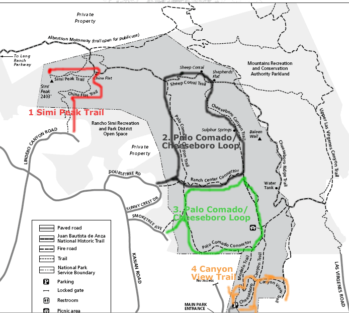
Cheeseboro Canyon Hiking
Palo Comado/Cheeseboro Loop-1
Cheeseboro Canyon is a part of National Park Service (NPS)- Santa Monica Mountains Recreation Area (www.nps.gov/samo).
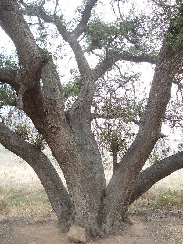
This is a waste area of open land, beautiful views with Oak Trees, hills, rock formations, water stream, wild flowers. It has 20 plus miles of hiking trails. I would recommend following 4 trails for most people. This is also a great area for mountain bikers- for biking and also for horse riding. This area is very easy to access from freeway and offers variety of trails for different age and ability groups.
Palo Comado/Cheeseboro Loop-1
How to reach there?
Take 101 and exit on Kanan Rd (exit#36 on 101 Freeway). Go north on
Kanan Rd for about 1 to 2 miles and then take Right on SunnyCrest drive.
You will see a trailhead when the road is curving. There is also a big
board for K10 Water Tank project there.. Park your car on the side of
the road.
Type of Hike:
A nice hike of around 6 miles. Can be tough at certain points for kids.
Ranch Center Connector road is really challenging.
If you love scenery and workout, you will not be disappointed at all.
This loop has a nice balance of elevation, beauty, toughness and length.
Trail Directions:
First go around half a mile on from the trailhead on Sunnycrest drive.
This is a nice easy walk. This will end on Palo Comado
Trail. You have two options- take Right or take Left. Taking Left
is recommended if you like to have the tougher Ranch Road Connector
in the end. No fun in my opinion in getting tired in the beginning itself.
After around 2 miles or so, turn right on Sheep Coral
Trail. From here, starts the most beautiful views. After around .6 to
.7 miles, take Right on the Cheeseboro Canyon Trail.
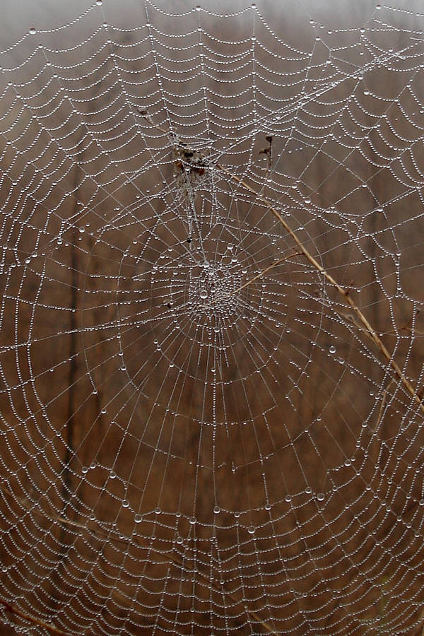
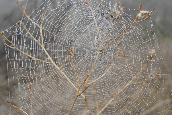
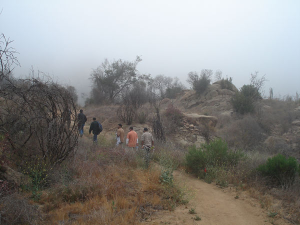
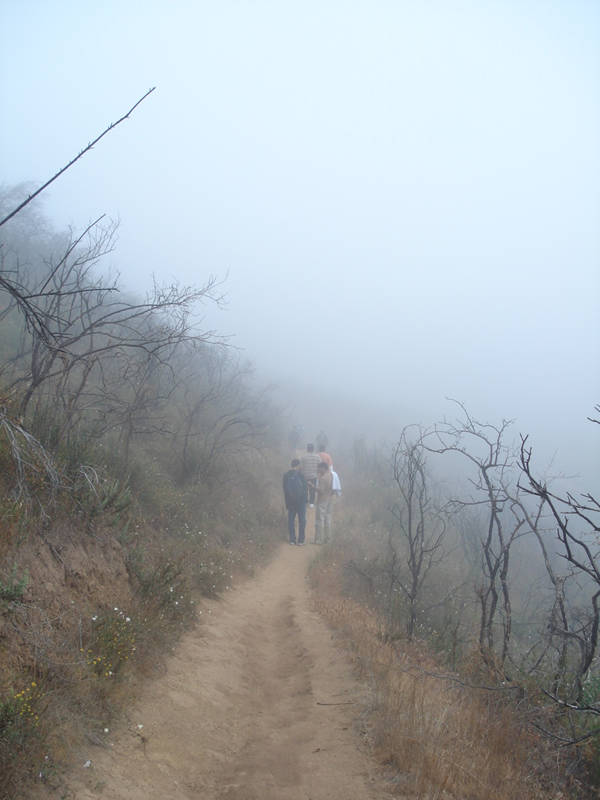
Nice rock formations, beautiful oak trees are everywhere. When I hiked
this trail, three were wonderful Spider webs! In the early morning mist,
there were like million dollar necklaces!
On the Cheeseboro, you will come across Sulpher Springs which really
smells bad like sulpher. After about half a mile or so, keep looking
for the Ranch Road Connector Rd- most beautiful views can be found in
this area.
Enjoy you hike! Respect mountain bikers!! Don't trash and keep the quietness to enjoy birds chirping and singing in early morning.
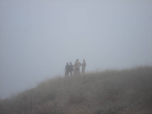
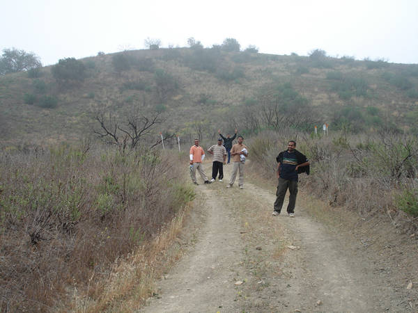
Here are some pictures:
Beautiful Spiderweb- one of my favorite pictures:
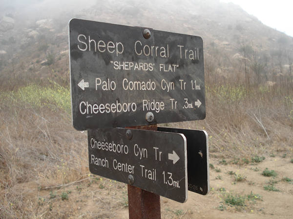
Junction of Sheep Corral Trail and Chesseboro Cyn Trail:
You will find such board at all important junctions so don't worry-
you will not get lost!
Now on the Ranch Road Connector:
Details about various parts of Cheeseboro/Cheesbro Hiking Area:
Modelo Spur 0.7 mile, moderate-This trail meanders from the parking lot through grasslands to a lone coast live oak on the ridge. The trail drops east and joins the Cheeseboro Canyon Trail.
Modelo Trail 1 mile, easy-Starting at the ridge line of the Modelo Spur and continuing north along the ridge, this pathway offers views of both canyons. It ends at the Palo Comado Connector Trail where you can turn right, and travel east to Cheeseboro Canyon, or left, and travel west to Palo Comado Canyon.
Palo Comado Canyon Trail 4.4 miles, moderate to strenuous-The first 1.2 miles of this trail are a gentle stroll along a creek to the old ranch center. The dramatic elevation gain begins a mile past the ranch site where you will climb from 1,200 feet elevation to scenic China Flat at 2,140 feet elevation.
Palo Comado Connector 1.5 miles, moderate-Travel this old ranch road across the ridge and through a section of Modelo Shale to reach either Cheeseboro or Palo Comado Canyons.
Cheeseboro Canyon Trail 4.6 miles, easy- Follow an old ranch road along a streambed through a valley oak savannah and coast live oak riparian zone. A picnic area is located 1.6 miles from the parking lot. Near Sulphur Springs, at 3.3 miles, you can smell the odor of rotten eggs. As you pass under the Baleen Wall, the canyon opens up and chaparral slopes replace the Savannah The trail continues to an old sheep corral where you can picnic near the creek bed or watch the sky for birds of prey.
Canyon View Trail 0.7 mile, moderately strenuous- This trail splits to the east of the Cheeseboro Canyon Trail and climbs to a knoll above the Lost Hills landfill. Looking back towards the west, you can see most of Cheesboro Canyon.
Ranch Center Connector 1.1 miles, moderate to strenuous-This trail crosses a chaparral hillside and connects Cheeseboro and Palo Comado Canyons. Simi Peak Trail 0.8 mile, moderate-This trail winds from China Flat to Simi Peak, the highest point in the area. Enjoy a spectacular view of Oak Park, Agoura Hills and Simi Valley.

