Mishe Mowka Trail in Santa Monica Mountains
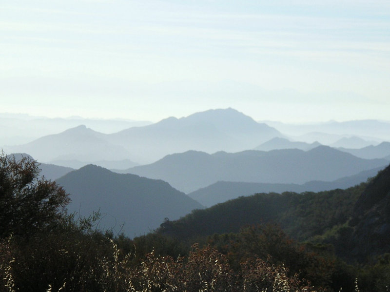
We hiked this one of the most beautiful hikes in the Santa Monica Mountains on July 1st, 2007. We started from Westlake Village (Westlake elementary school parking lot) at 615AM and drove 12.5 miles on the curvy roads of Westlake Blvd, Drucker Canyon, Mullholand than on Little Sycamore Canyon road. We reached the trailhead about 7AM. There were nice photo opportunities at lot of places. Split rock area is a nice place to bring kids and family, and have picnic. After Split Rock area, do go on the limited trail on the right hand side for around 5 to 10 minutes to get a nice view of the Balanced Rock. Inspiration point and Sandstone pick give you a great 360 degree view that included Pacific Ocean in the South, Thousand Oaks, Newbury Park, Camarillo, Oxnard on the North and West side. You can see that high-rise tall building in Oxnard in the West and the twin tall building in Woodland Hills on the East (both of them are around 35 miles apart. In the East, you can see the Lake Sharewood, Triunfor Water Reservoir. We were not that lucky but you can also see Channel Islands on a clear day.
We first started on the famous backbone trail and saw spectacular Echo Cliffs, a balanced rock (must see it on the pictures below), skull faces formed in big rocks on the top of hills, bonny mountains, a giant split rock, stunning giant sandstone formations, and breathtaking views from the top of Sandstone Peak and Inspiration point.
Trailhead:
The Mishe Mowka trailhead is 1 mile east of the Circle X Ranch, which is located 5 � miles from Pacific Coast Highway on Yerba Buena Road in Malibu. Alternately, from Westlake Village, exit on Westlake Blvd from the 101 Freeway, and follow it south for several miles as it merges with Mulholland highway. Turn right onto Little Sycamore Canyon and it will become Yerba Buena Road as you cross the county line. Proceed on Yerba Buena Road for about 4 miles to trailhead (about a mike before you hit the Circle X Ranch Ranger Station). (Lat:34.11161 Lon:-118.92643)Mishe Mowka loop
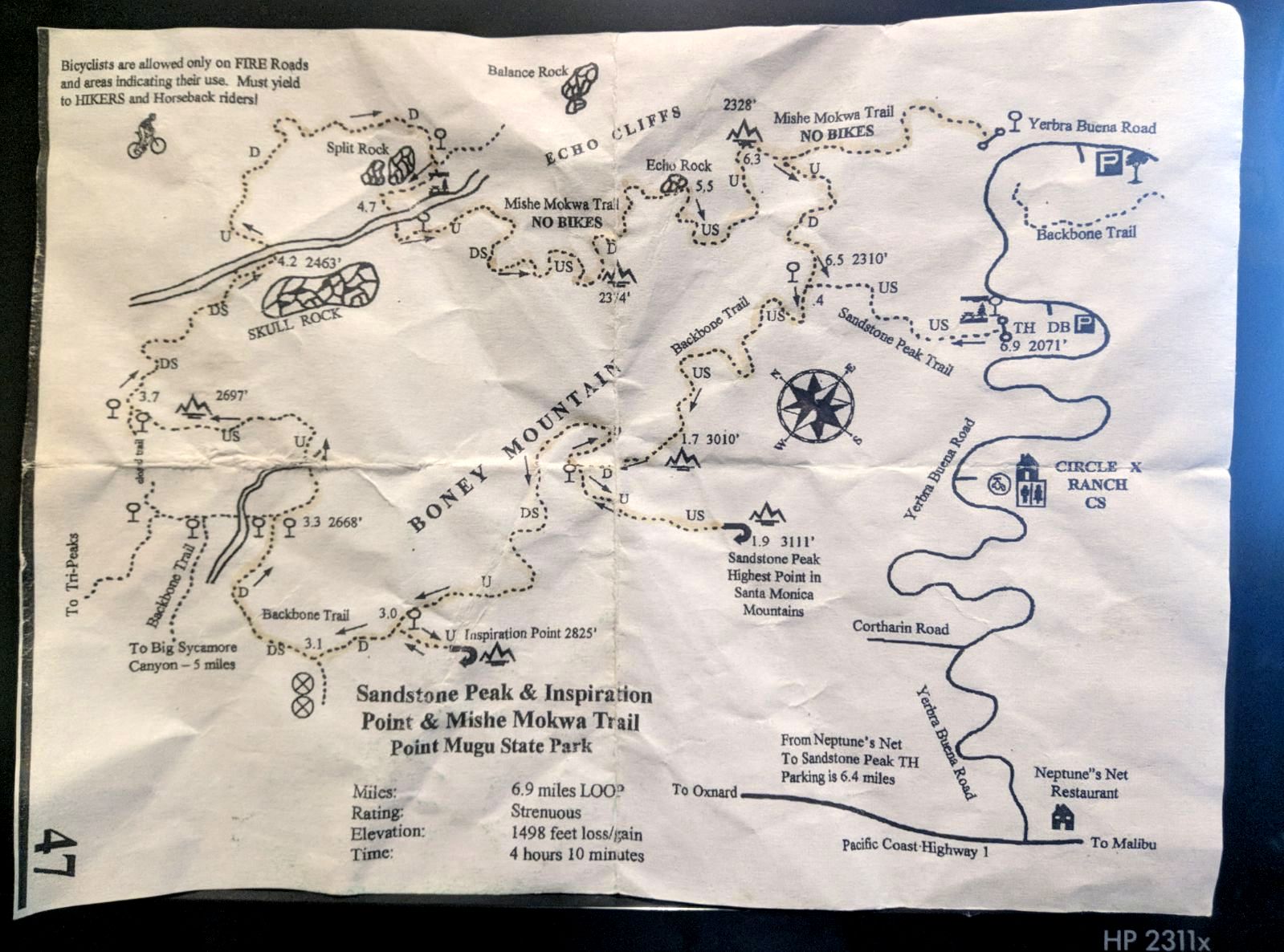
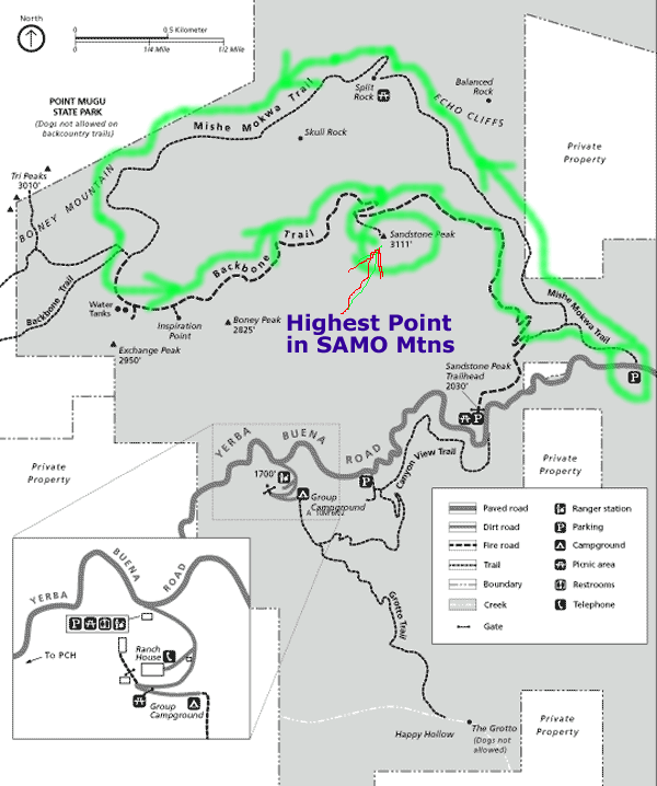
Trail map:
Here are some pictures to give you a virtual tour of Mishe Mowka loop:
View of the Santa Monica Mountains while driving down to Circle X Ranch:

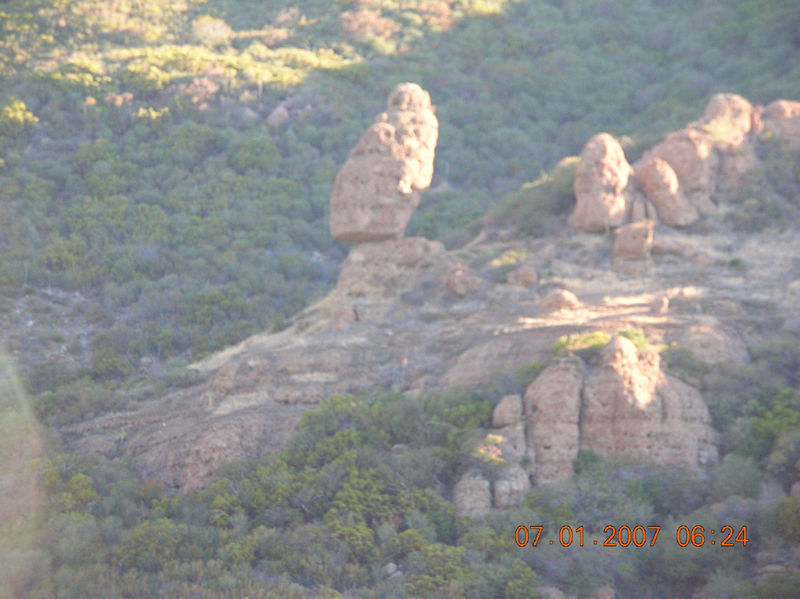
Balance Rock on Mishe Mowka loop- House sized rock delicately balanced:
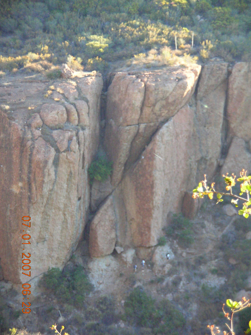
A Zoomed in picture of rock-walls below balanced rock (Can you see hikers at the bottom of it?)
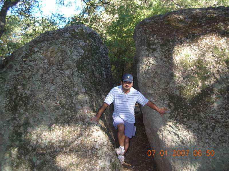
Split Rock- A large rock broken/split in 3 parts:
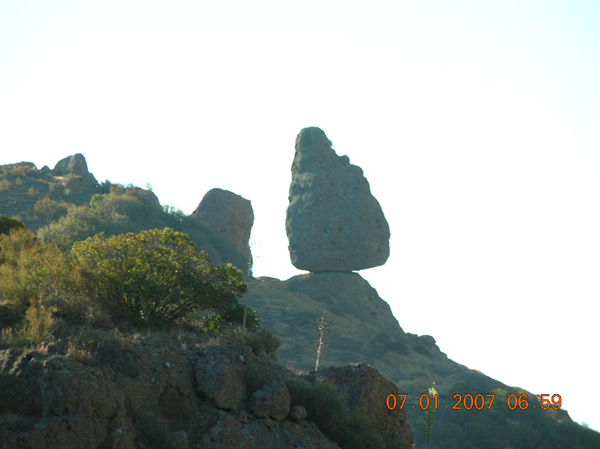
A close up of the balanced rock:
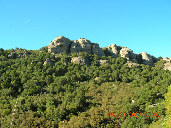
Skull faces formed on the top of hills:
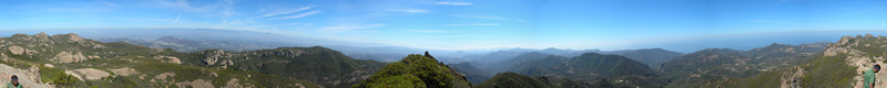
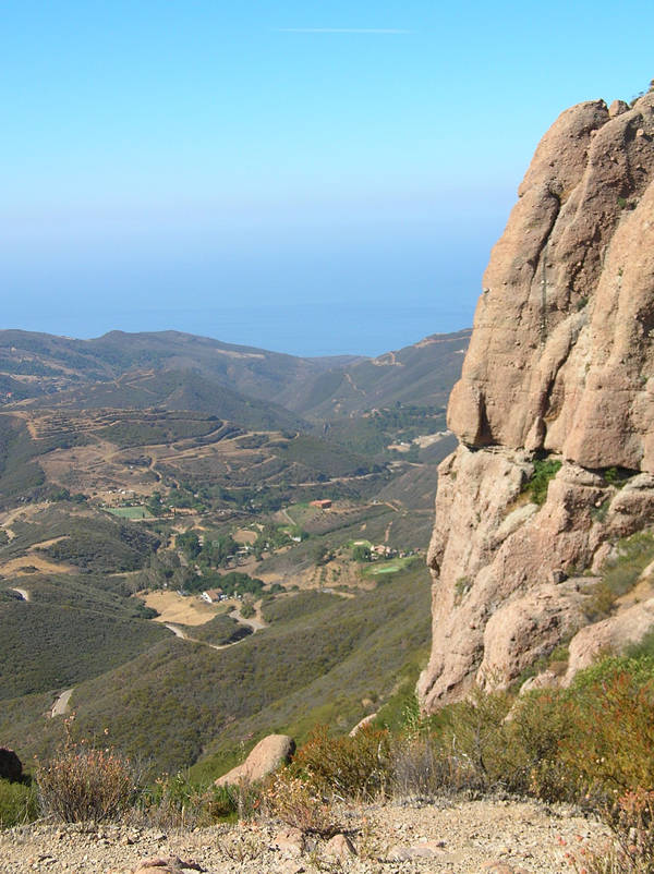
A panoramic view from the Inspiration point: Look at the Pacific ocean in the back ground
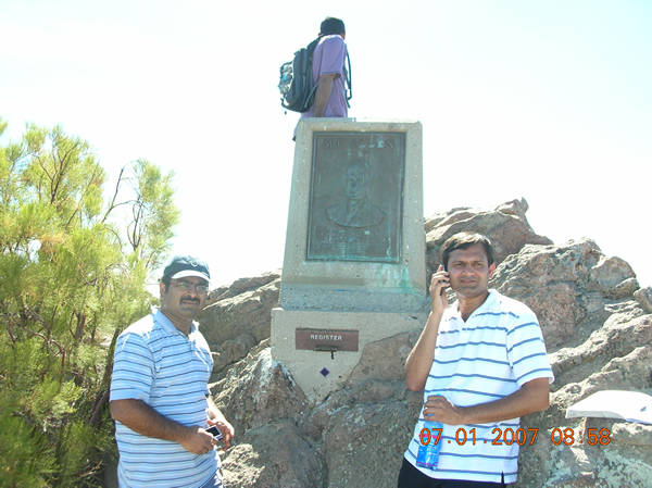
Top the Santa Monica Mountains: Sand Stone peak (3200 feet elevation).
Panoramic view from the Sandstone peak: