Hiking in CIRCLE X RANCH
(Santa Monica Mountains)
GROTTO TRAIL:
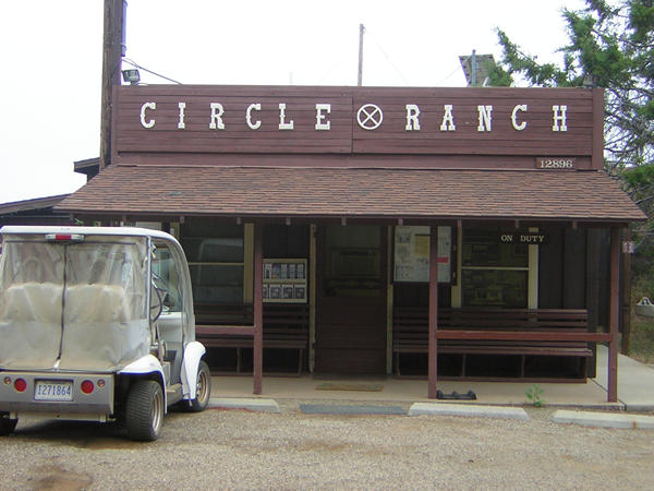
We hiked this one beautiful hike in the Santa Monica Mountains in 2006. We started from Westlake Village (Westlake elementary school parking lot) at 615AM and drove 12.5 miles on the curvy roads of Westlake Blvd, Drucker Canyon, Mullholand than on Little Sycamore Canyon road. There are marked signes for CIRCLE X RANCH when you reach there. There is a small parking lot and a ranger's office. (Secret: There is a campground too if you want to camp in one of these hidden jewels of Los Angeles )
Trailhead: The trailhead is 1 mile east of the Circle X Ranch, which is located 5 � miles from Pacific Coast Highway on Yerba Buena Road in Malibu. Alternately, from Westlake Village, exit on Westlake Blvd from the 101 Freeway, and follow it south for several miles as it merges with Mulholland highway. Turn right onto Little Sycamore Canyon and it will become Yerba Buena Road as you cross the county line. Proceed on Yerba Buena Road for about 4 miles to Circle X Ranch Ranger Station. (Lat:34.11161 Lon:-118.92643)
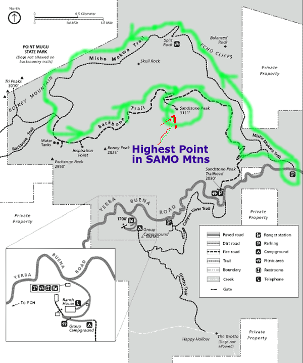
Trail map:
Ignore the GREEN LOOP. That
is MISHE MOKWA loop- One of the best hikes in Santa Monica Mountains/
Los Angles Ventura county area. For Grotto Trailhead, look at the
bottom of this map and the trail which is going North to South.
Here are some pictures to give you a virtual tour:
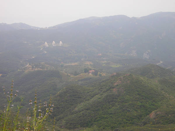
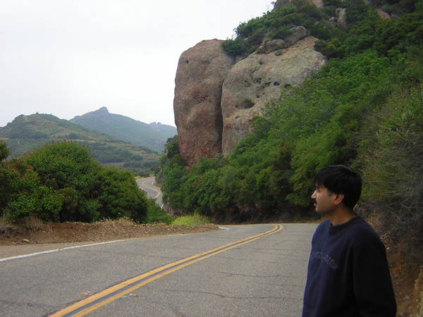
View of the Sanat Monica Mountains while driving down to Circle X Ranch:
Circle X Ranch Ranger Station:
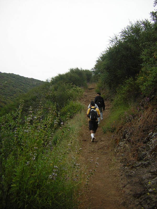
Grotto Trailhead:

On the Grotto trail:
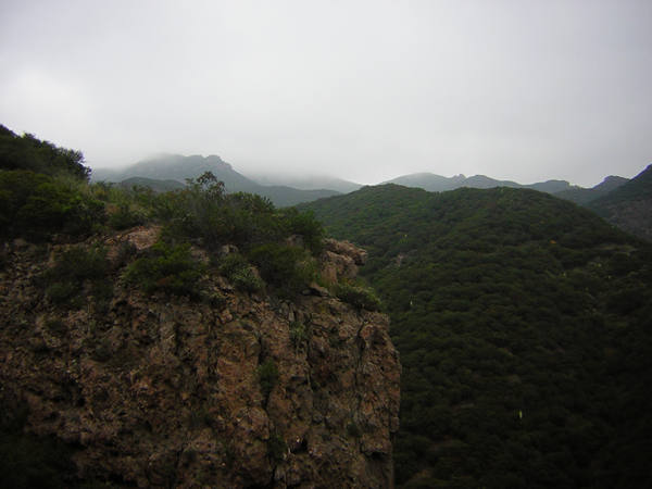
Dense mountains:
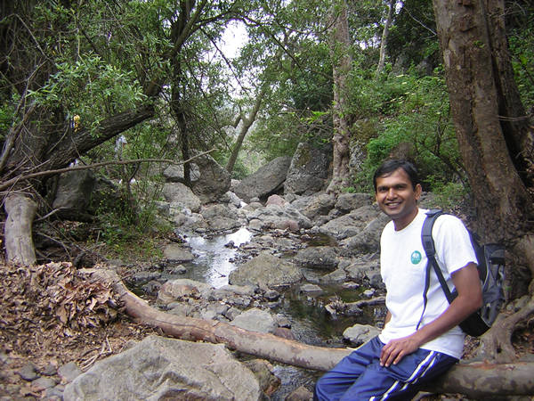
Relaxing running waters:
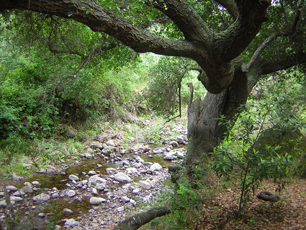
A nice water stream..pretty area
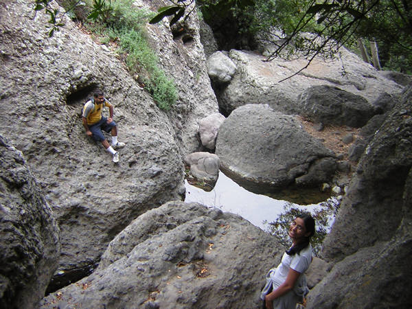
Big rocks/boulders to jump on and move around or to eat snacks.
Some types of water lizards:

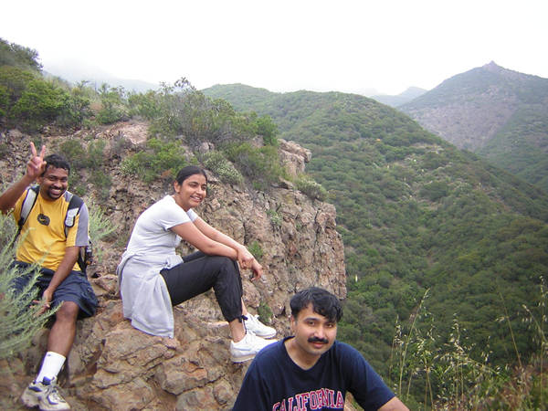
As this trail is going from top to down, the first part is easier and fun but when you are climbing back, you know the reality of the trail (it is not much though- I guess 500 feet or so!) Don't worry, there are some spots to sit down, relax and enjoy views: